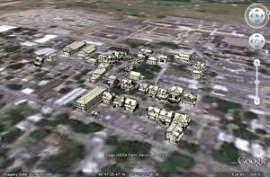
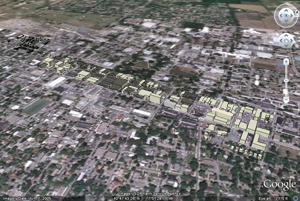
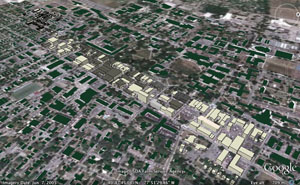
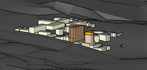
02RSSC.kmz – State College Revit and SketchUp Combo KMZ
This is a Google Earth model with a combination of models from Revit and SketchUp of buildings in the downtown area, including footprints of un-modeled buildings of State College. The Revit models are fairly detailed while the SketchUp models are more schematic, both of which are projected , but with no elevation data. Each building is one layer. This is the most complete detailed model of State College.
Known Issues: 1) Does not work with Google Terrain |